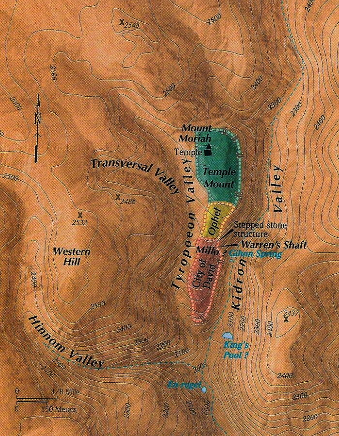
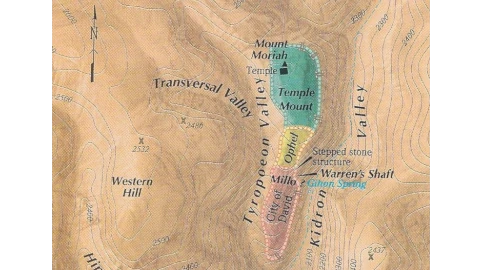
Jerusalem is built upon a cluster of seven hills in the Judean mountains about 30 miles east of the Mediterranean and 20 miles west of the northern shore of the Dead Sea. The elevation of the city varies from just over 2000 feet at the bottom of the Kidron Valley to over 2700 feet at the peaks of the Mount of Olives and Mount Scopus (not shown on this map). The topography of the area has been greatly changed by people through history. Originally, Mt. Moriah and Mt. Zion (labeled City of David on this map) were separated by a shallow depression which was later filled in by large earthworks – the Millo and the Ophel. Then a man-made platform built with large stone vaults was constructed on Mt. Moriah forming the “Temple Mount” we know today – the largest man-made platform in the world (150,000 square meters, 37 acres).


