Friday September 25, 2020
First thing this morning, we visited the Shiloh Civil War Battlefield, then made our way to the Mississippi north of Memphis and crossed over into the toe of Missouri. In the afternoon, we made our way up from the Mississippi valley into the Ozark Mountains.

Like all battlefields, Shiloh is an eerie place. The commanders of the two great armies who met here in early April 1862 both believed that this would be a decisive battle which would bring the war to a speedy conclusion. A casual perusal of the battle maps reveals how confused the lines of battle were in the heavily wooded, swampy areas and small open fields surrounding the Shiloh Church for which the battle was named. How confusing the battle must have been for both the commanders and the soldiers of the line. In his memoirs, U.S. Grant said of Shiloh – “The battle of Shiloh, or Pittsburg landing, has been perhaps less understood, or, to state the case more accurately, more persistently misunderstood, than any other engagement between National and Confederate troops during the entire rebellion.” After two long, full days of desperate struggle, the Confederate army retired back to Corinth, MS, leaving the Federals in control of the field, and Pittsburg Landing on the Tennessee River. But the battle was shockingly costly to both sides with some 23,000 casualties. Instead of being a decisive end to the war, the battle was the first taste of the true horror of war for the entire country. Yet even bloody Shiloh pales by comparison to some of the battles later in the war. Unlike Chickamauga, the Shiloh battlefield has no audio tour guide. There is an excellent mobile app that goes along with the auto tour, but unfortunately, we just couldn’t afford the time to cover the entire 13 miles of the tour. The movie about the battle shown hourly in the visitor center is also excellent.
NOTE – In the museum of the visitor center is a display of famous Shiloh veterans. One of those pictured there is John Wesley Powell. He lost most of his right arm at the Battle of Shiloh, yet continued to serve through the rest of the war. Powell later became famous for his Colorado River expeditions through the Grand Canyon.

After leaving the Shiloh Battlefield National Military Park, we passed through Adamsville, TN. We had to stop for ice, and some grease for the ball of the trailer hitch. While fueling the van, I noticed this street sign. Adamsville is the home town of Sheriff Buford Pusser whose exploits in the service of law and order in this county were told in the movie Walking Tall.
From Adamsville, we continued into western Tennessee, threading the needle between Nashville and Memphis to cross the Mississippi River west of Dyersburg, TN into the “toe” of Missouri. From there, we continued northwest skirting the northeast corner of Arkansas through the flat farmlands of the Mississippi flood plain into the Ozark Mountains.
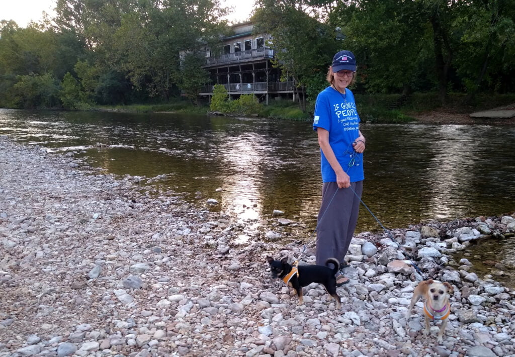
At the end of the day, we reached the Circle B campground on the Jack’s Fork River in Eminence, MO just in time to take a short stroll along the river before dark.